Indonesia

Indonesia is the world’s largest archipelagic state, encompassing more than 17,000 islands. Indonesia is generally dominated by a tropical rainforest climate. Indonesia is affected by various types of natural disasters, including floods, droughts, earthquakes, tsunamis, and volcanic eruptions. The shocks of climate change are already being felt in Indonesia, with more frequent droughts, heat waves and floods, and will pose …


India

India is the largest country in South Asia with a population of more than 1.3 billion. India’s diverse climate zones, ecosystems and topography translate to unevenly distributed climate risks across the country. In the agriculturally important regions, rising temperatures and increased extent and incidence of droughts have caused declines in rice and wheat yields; projections suggest this could lead to …

Fiji

Fiji comprises more than 300 islands and has a total land area of approximately 18 300 km2 and a population of about 926,276 (2018 estimate). Fiji is one of the most economically developed countries in the Pacific Island realm due to abundance of forest, mineral and marine resources. Over 90% of the population, both rural and urban, can be considered …

Cambodia

Cambodia is classified as being among the least developed in the world. Approximately 80 percent of it’s population lives in rural areas. Cambodia has a robust informal economy, which provides employment for nearly 60 percent of Cambodians. Agricultural and fishery activities comprise about 27 and 12 percent of GDP respectively and are essential for food security and livelihoods. Cambodia is …

Bangladesh

Bangladesh faces significant challenges in adapting to the impacts of climate change. Often cited as one of the most vulnerable countries to climate change, Bangladesh’s topography and geographical location make it particularly susceptible to extreme weather events including cyclones in April-May and September-November, floods in July-August and storm surges. Its vulnerability is caused not only by its biophysical factors (being …

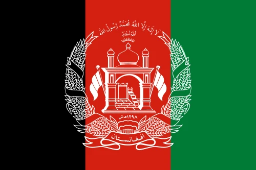
Afghanistan

The topography of Afghanistan, comprising of the northern plains, central highlands (part of the Himalayas) and the southwestern plateau, renders the country highly prone to geophysical and extreme weather events. The climate risks faced by the country include rising mean annual temperatures and varying spatial patterns in spring rainfall and snowmelt. This is resulting in increased frequency of both droughts …